Quang Ninh urgently prepares to respond to strengthening Storm Yagi
In an offical document issued on September 3, the provincial Peopls's Committee directed all relevant departments and localities to closely monitor Yagi.
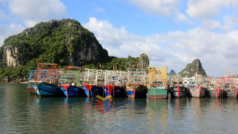
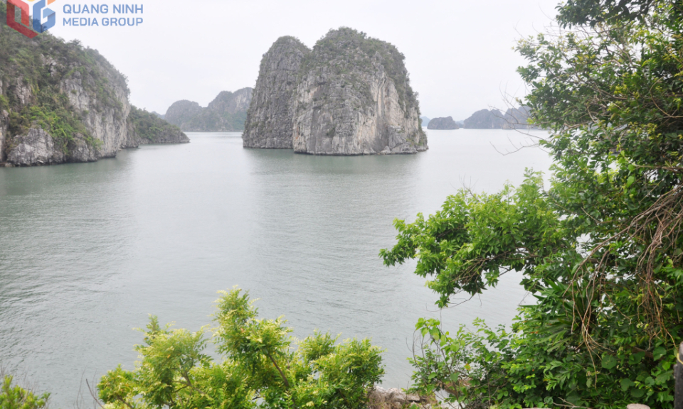
Districts and cities across the province were urged to keep ships operating in potentially affected sea areas informed of the storm's developments to avoid impacts and to prepare rescue plans if necessary.
Network operators and local mass media agencies need to ensure communication for response work, direct local agencies to increase sharing and guidance on the prevention of tropical depressions and storms, and give priority to broadcast warnings and response instructions.
According to the National Center for Hydrometeorological Forecasting, as of 4:00 am on Wednesday, the storm was located in the northern region of the East Vietnam Sea, east of Hainan Island, with sustained winds of up to 117 kph and gusts reaching 149 kph.
The central weather agency reported that Yagi is moving westward toward Hainan Island at a speed of 10 kph, and its strength is anticipated to increase.
By 4:00 am on Thursday, the typhoon is forecast to be about 560 kilometers east of Hainan, with winds of 149 kph and squalls up to 201 kph.
Over the following 24-48 hours, the storm is expected to continue its westward trajectory at 10 kph, gaining further intensity.
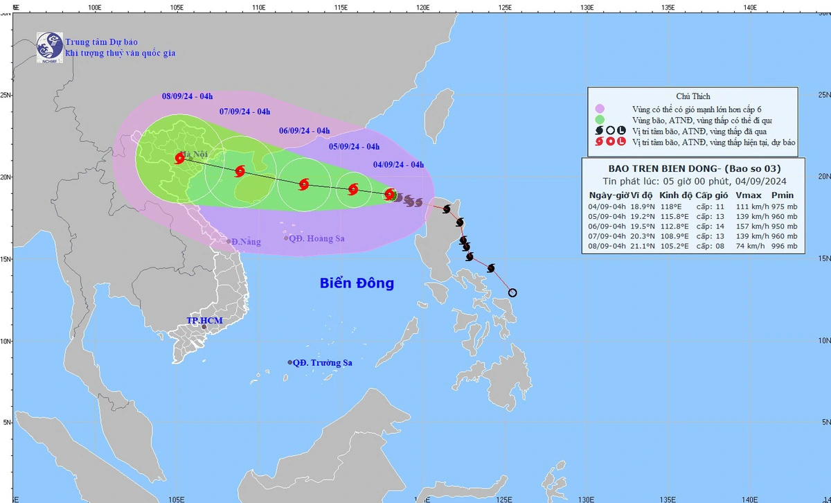
By 4:00 am on Friday, the storm’s center is projected to be 230 kilometers east of Hainan, with winds of 166 kph and squalls up to 220 kph.
The typhoon is then forecast to move west-northwest, making landfall on Hainan Island before entering the Gulf of Tonkin, where it is likely to weaken slightly.
The storm is predicted to continue moving west-northwest at 15 kph over the next 72 hours, gradually weakening.
Affected by the typhoon, the eastern waters of the northern part of the East Vietnam Sea will be extremely rough with sea waves rising to four to six meters, with powerful winds ranging from 102 kph to 149 kph, along with gusts reaching 201 kph within 24 hours from now.
On Thursday and Friday, squalls near typhoon Yagi's eye could intensify to 220 kph, causing dangerously rough seas with waves potentially reaching up to nine meters, posing significant risks to vessels.